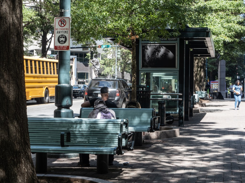
Walk down Tryon Street on any given afternoon and you are moving through one of the most layered landscapes in the American South. Glass towers reflect clouds overhead. A food truck idles near a mid-century bank facade. Somebody’s grandmother waits for a bus in the same spot where, a few centuries ago, a Catawba trader might have paused to rest before continuing north.
That continuity is not accidental. Tryon Street is Charlotte: its oldest artery, its civic spine, but how did we get to today’s Tryon Street? And what is next?
A path before a street
Before Tryon Street had a name, it had a purpose. The land beneath Uptown Charlotte was crossed by the Nations Path, an ancient trading route used by the Catawba and other Indigenous nations to travel between present-day Georgia and Virginia. The path followed the natural topography of the Piedmont, threading through watersheds and ridge lines that made travel efficient, the same logic that would later guide colonial roads, and then city grids.
When European settlers arrived in the mid-1700s, they did not invent a new route — they inherited one. The colonial road that became Tryon Street followed the same corridor, renamed in honor of William Tryon, the eighth Royal Governor of the Province of North Carolina. The street’s gentle incline, rising toward the center of the city from every direction, is the reason Charlotteans say “Uptown” rather than “Downtown.” Wherever you are coming from, you are climbing toward it.
The grid, the commerce, the center of everything
When Charlotte was formally established in 1768, Tryon Street became the organizing axis of its grid. Where Tryon crossed Trade Street, the two named after the governor and the activity that defined early settlement, became the literal center of the city. The courthouse sat at that intersection. So did the taverns, the dry goods merchants, the lawyers’ offices. The corner of Tryon and Trade was where you went when something mattered.
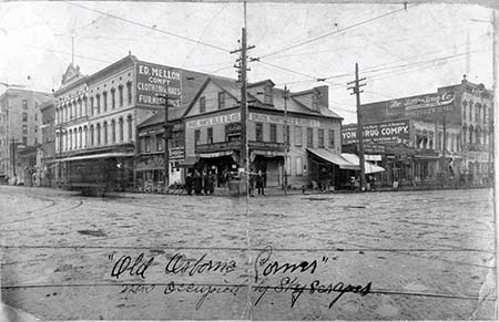
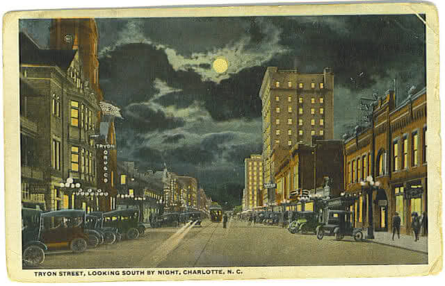
Through the 19th and early 20th centuries, Tryon Street thrived as a commercial corridor. Streetcars moved people up and down its length. Department stores and banks rose in brick and terracotta. The street hummed with the noise of people doing business, running errands, running into each other. It was, in the fullest sense, a place.
the mid-century retreat and the loss of street life
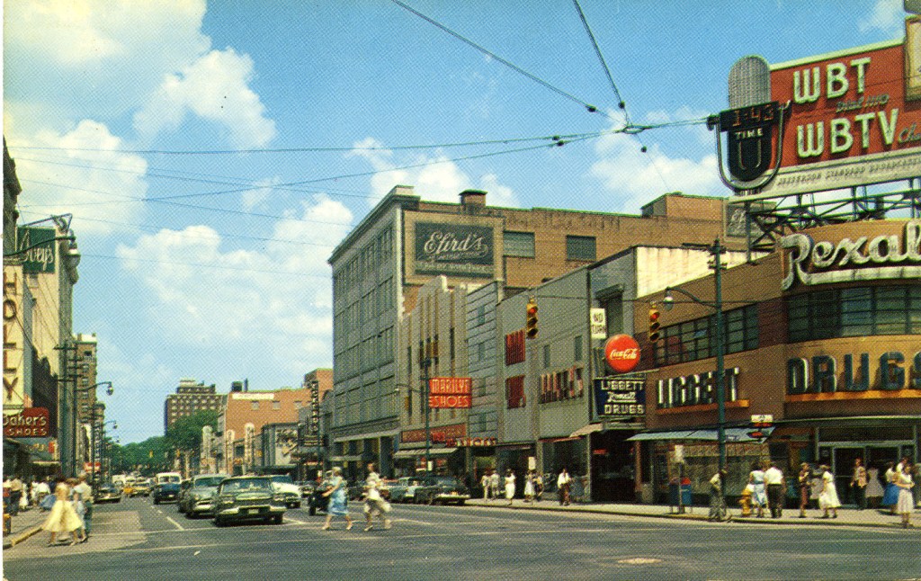
Like most American downtowns, Charlotte’s center hollowed out in the decades after World War II. Streetcars were pulled up. Suburban shopping malls drew retail away. The automobile reshaped how people moved through the city, and through Tryon Street specifically. What had been a pedestrian exchange became a through-route, a corridor for getting somewhere else.
By the late 1970s, city leaders were grappling with a familiar urban challenge: how do you bring life back to a downtown that car culture had emptied out? The answer they arrived at was bold for its time, and it would shape Tryon Street for the next forty years.
the 1984 transit mall: a city votes for its sidewalks
On April 28, 1981, Charlotte voters approved a bond referendum to fund something genuinely ambitious: a transit and pedestrian mall along nine blocks of Tryon Street, from Brooklyn Village Avenue to 8th Street, plus the 100 blocks of East and West Trade Streets. The project was a cornerstone of the Charlotte Central Area Plan, adopted just months earlier, and its stated goals were direct: to provide a more efficient transit system and to create a pleasant environment for pedestrians.
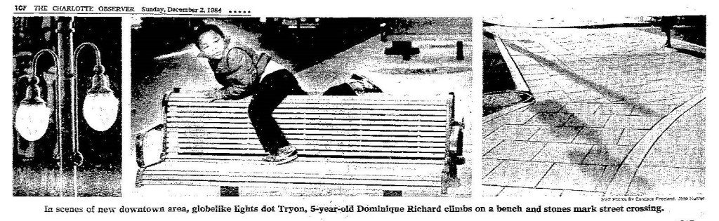
Construction began in January 1982. Workers laid new brick pavers, planted trees, installed benches and lighting, and redesigned the street section to give buses dedicated lanes while carving out wider sidewalks for people on foot. The project took nearly three years. On Thanksgiving Day, 1984, the mall was dedicated, a gift to the city as it headed into a new decade.
forty years of hard work
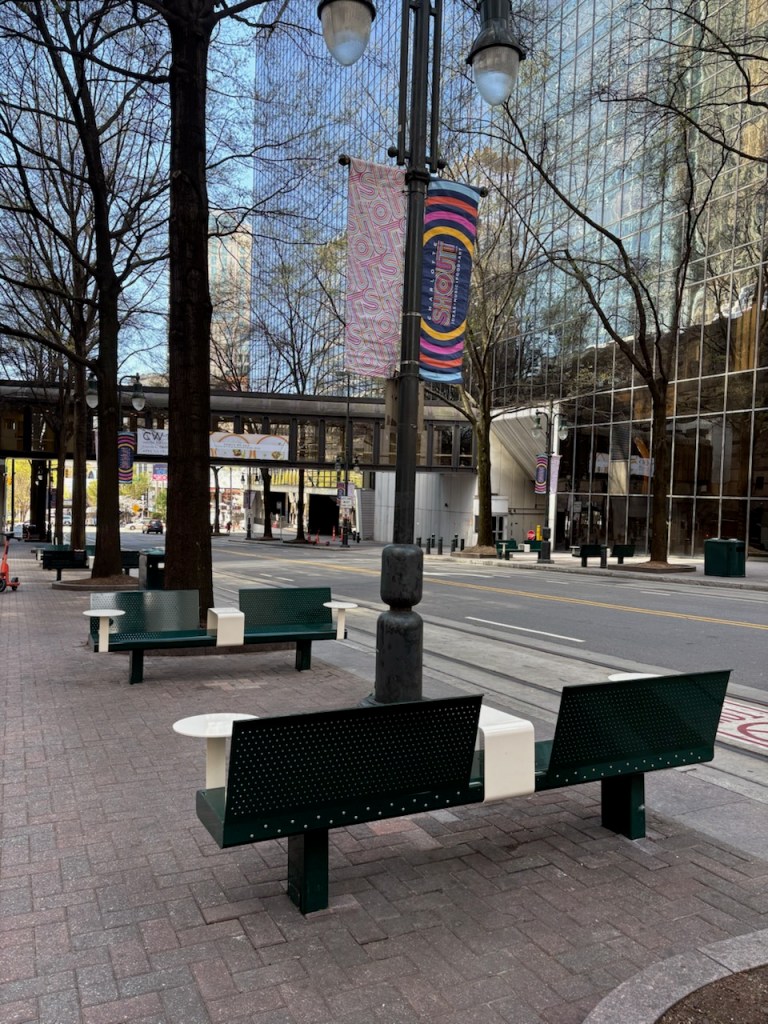
Four decades is a long time to ask a streetscape to carry a city’s aspirations. The 1985 design held up for a generation, but Tryon Street has changed enormously since those bricks were laid. Light rail arrived. Towers multiplied. The demographics of Uptown shifted. The way people move through a city — on foot, on bikes, by scooter, by bus — evolved in ways the 1981 planners could not have fully anticipated.
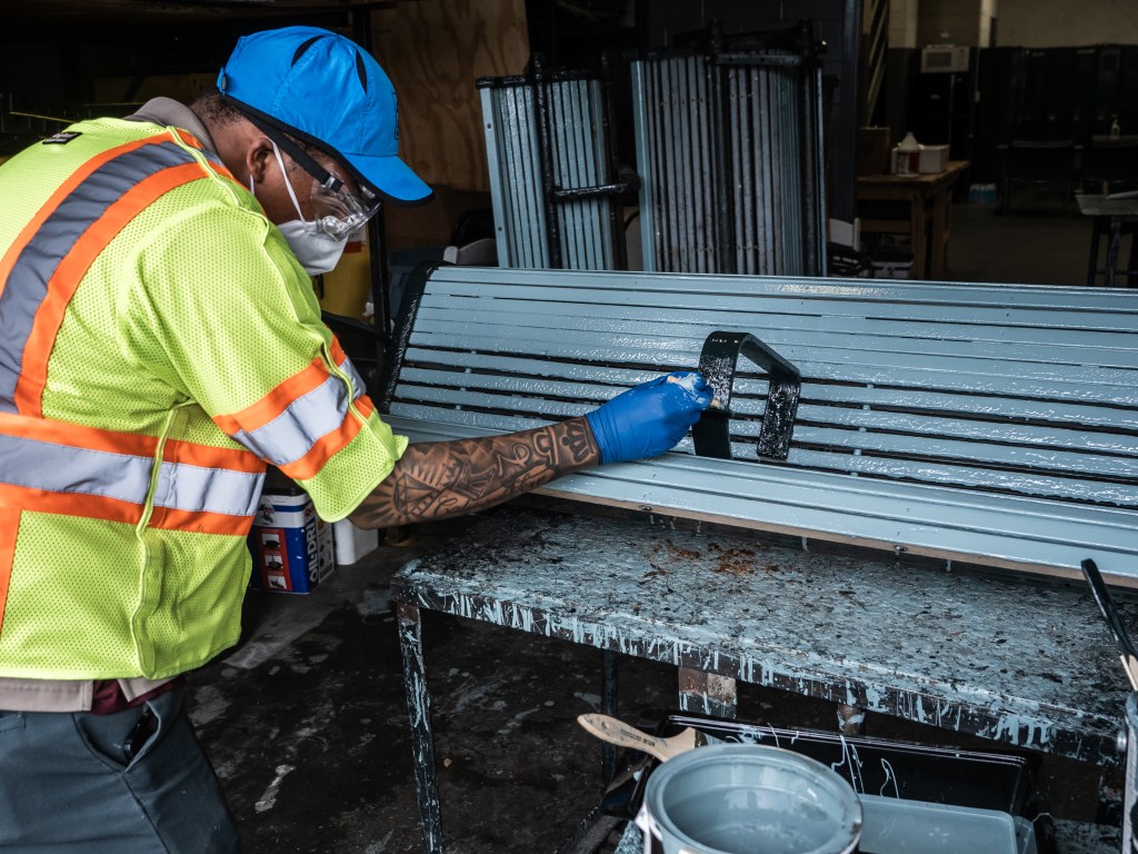
Many fixtures along Tryon Street have been in place since the 1980s Transit Mall project. While they’ve served our community well, they are now worn out and increasingly difficult to repair …
… Have you spotted any changes on Tryon?
P.S. Don’t forget to sign up for our Connections Newsletter to stay up to date with UDC projects around the city!
